Mother Nature is arriving in all her glory, on Monday through Tuesday night. With monsoon rains as well as winds that could top out at 45-60 MPH, take a little time to prepare for her arrival in the Oakland Hills.
Here is a copy of the Tuesday forecast from the National Weather Service, which says the storm isn’t Armageddon but still presents a real threat. It turns out to be the vestiges of a typhoon, which hit Japan a few days ago.

What The National Weather Service Says
The National Weather Service (NWS) is blowing all three horns loudly about the intensity of stormy weather ahead, with several warnings.
- High Wind Watch – NWS forecasts high winds from late Tuesday night through Wednesday night, with “wind speeds increasing to 20 to 40 MPH along the coast and in the hills by early Tuesday morning. Gusts to 60 MPH are possible in these areas.”
- Special Weather Statement – NWS said that “in the hills, rainfall amounts could range from 3 to 6 inches.” They also warn against mud and debris flows, flooding of small streams, power outages from downed trees, and slippery driving conditions.
- Hazardous Weather Outlook – NWS chimed in again about the blustery storm, forecasting “strong and gusty winds [which] are expected to continue through the day Tuesday and begin tapering off after midnight Tuesday night.”
What You Can Do Today Or Tomorrow
What does this mean for Montclarions? Batten down the hatches, of course!
There are going to be high winds. You can expect a few elderly Pines to topple around here. So make sure you are equipped for a power outage, whether that means batteries, flashlights, water, sustenance, etc. You have been through this drill before, but it’s been a little while.
There are flood and mudslide risks. To prevent damage, take a look around your property before the storm hits us. You might see some debris to clear from your home gutters, and do that now. Or there might be some problem areas underfoot, so get a few sandbags or plastic sheets from the nearest fire station (or Shepherd Canyon’s Public Works, which usually has a good supply).
On the streets themselves, offer up your prayers. We have plenty of creeks and old culverts and, well, you never know what will happen. On a slightly more practical note, at least step into your street and check the drainages – and remove obvious blockages to protect your nearby castles.
If you live here, then you know its a small (or large) price to pay. It’s not all bad, as Fire Season should be over now.
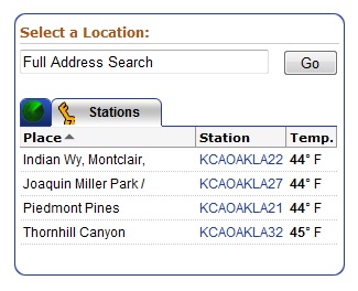
 The superlocal weather stations are currently reporting through Wunderground online. Enter your address, and the site returns the nearest reporting location to you.

